
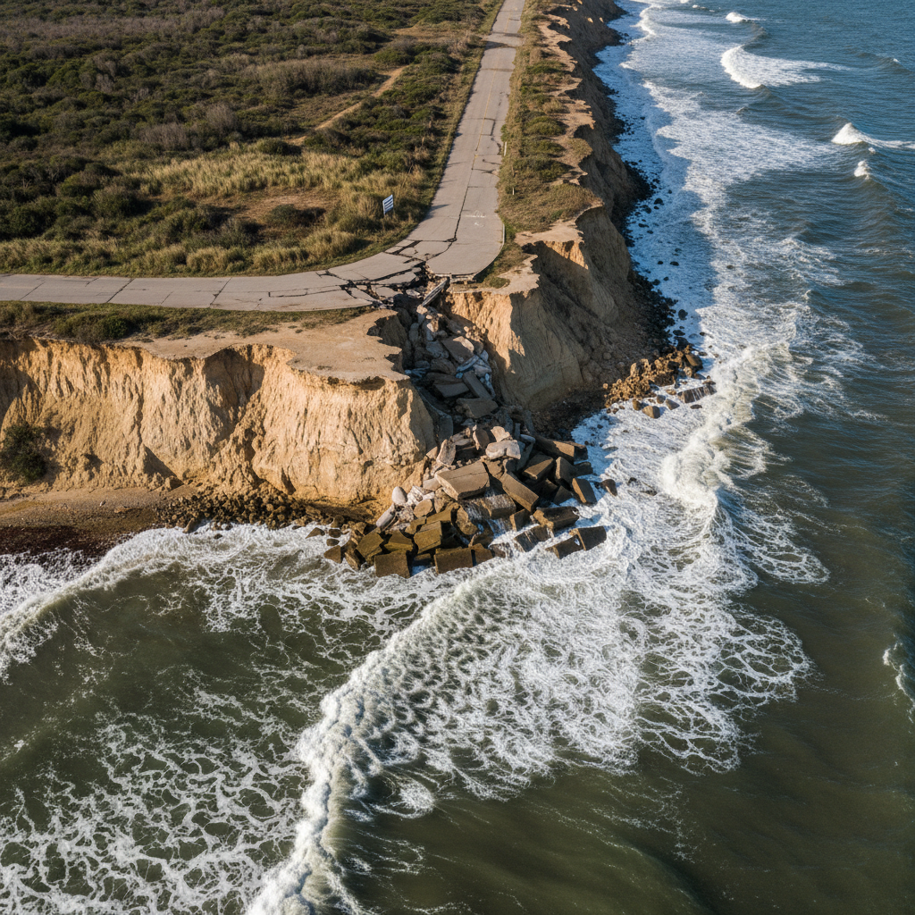
Shoreline Retreat Rate
THE COAST
DOESN'T WAIT
FOR BUDGET
CYCLES.
847mi
of Atlantic shoreline under active erosion threat — Mid-Atlantic region, 2024
Shoreline surveys erosion rates, engineers seawalls, restores dune systems, and writes the emergency plans that keep coastal communities above water.
THE SHORELINE
DOESN'T LIE.
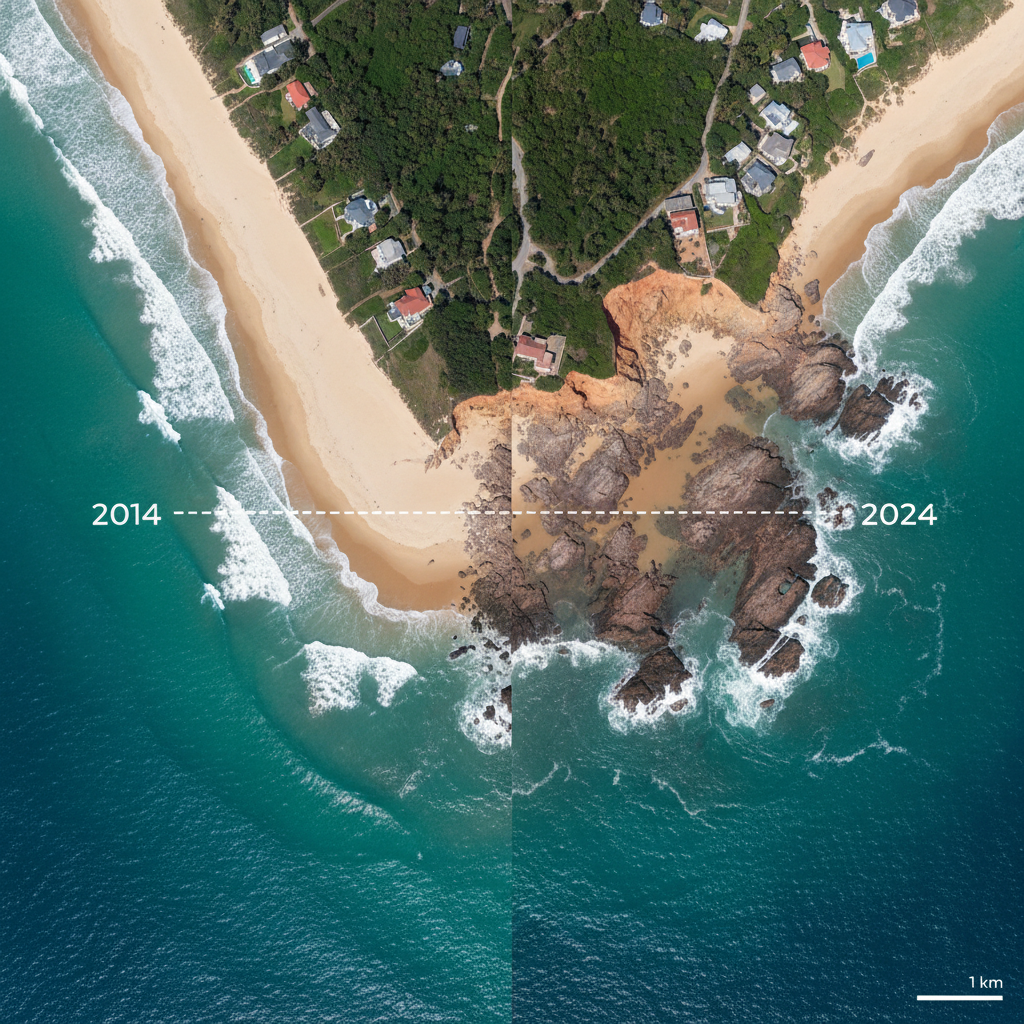
Satellite composite analysis of the Northern Outer Banks transect, 2014–2024. Each meter lost is a meter that doesn't come back without intervention.
2024
-74 ft
2024 Current
74 ft cumulative retreat — revetment placement authorized
Click a year to view survey data
74 ft total retreat · 10-year period
WHAT GETS
MEASURED
GETS HELD.
Three representative projects. Every outcome measured, every cubic yard accounted for, every property delisted documented.
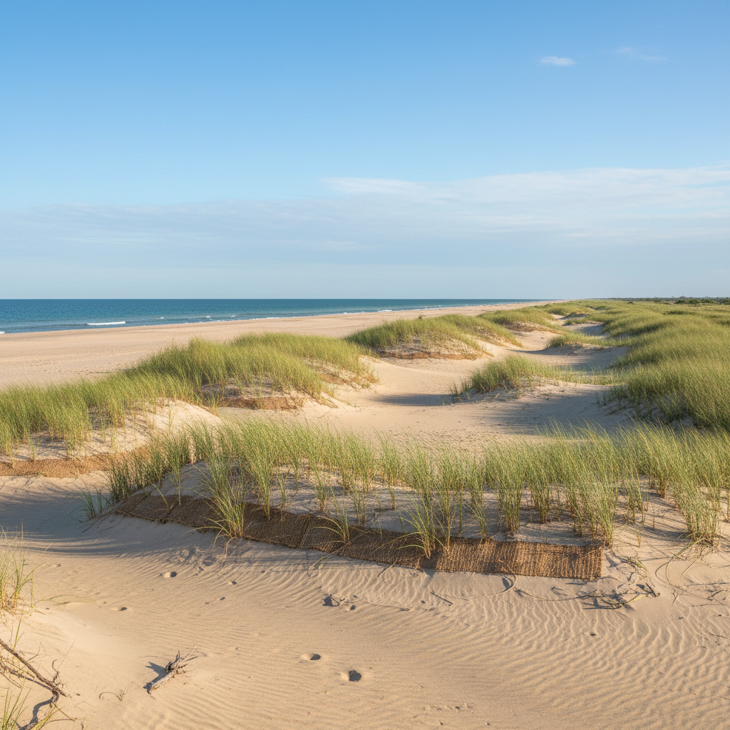
Topsail Island Beach Renourishment
Pender County, NC
2.1Mcu yd
Sand Placed
6.8mi
Shoreline Protected
340props
Removed from AE Zone
Post-storm survey confirmed dune crest elevation maintained at +16 ft NAVD88 through two subsequent named storms. Annual maintenance cost reduced 62%.
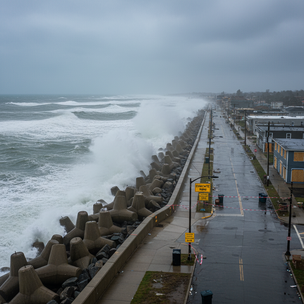
Brunswick County Seawall System
Brunswick County, NC
4,200lf
Revetment Installed
$18M
Infrastructure Protected
12yrs
Design Life
Armor stone revetment with geotextile filter layer. Maintained road access through three consecutive nor'easters. Zero overtopping recorded in 2023–2024 storm season.
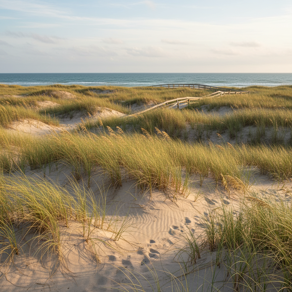
Currituck Sound Dune Restoration
Currituck County, NC
38ac
Dune Habitat Restored
94%
Vegetation Survival Rate
7species
Native Plants Installed
Hybrid living shoreline combining oyster reef sills with native dune grass plantings. NOAA Habitat Blueprint recognition. Sediment accretion rate +2.3 in/yr at monitoring stations.
2.1M+
Cu Yd Sand Placed
All projects
340
Properties Delisted
From FEMA AE Zone
$247M
Infrastructure Protected
Replacement value
31
Active Projects
Current portfolio
WHAT HAPPENS
WHEN FUNDING
STALLS.
The engineers and planners holding this line speak plainly about what inaction looks like — not in projections, but in roads, properties, and communities.
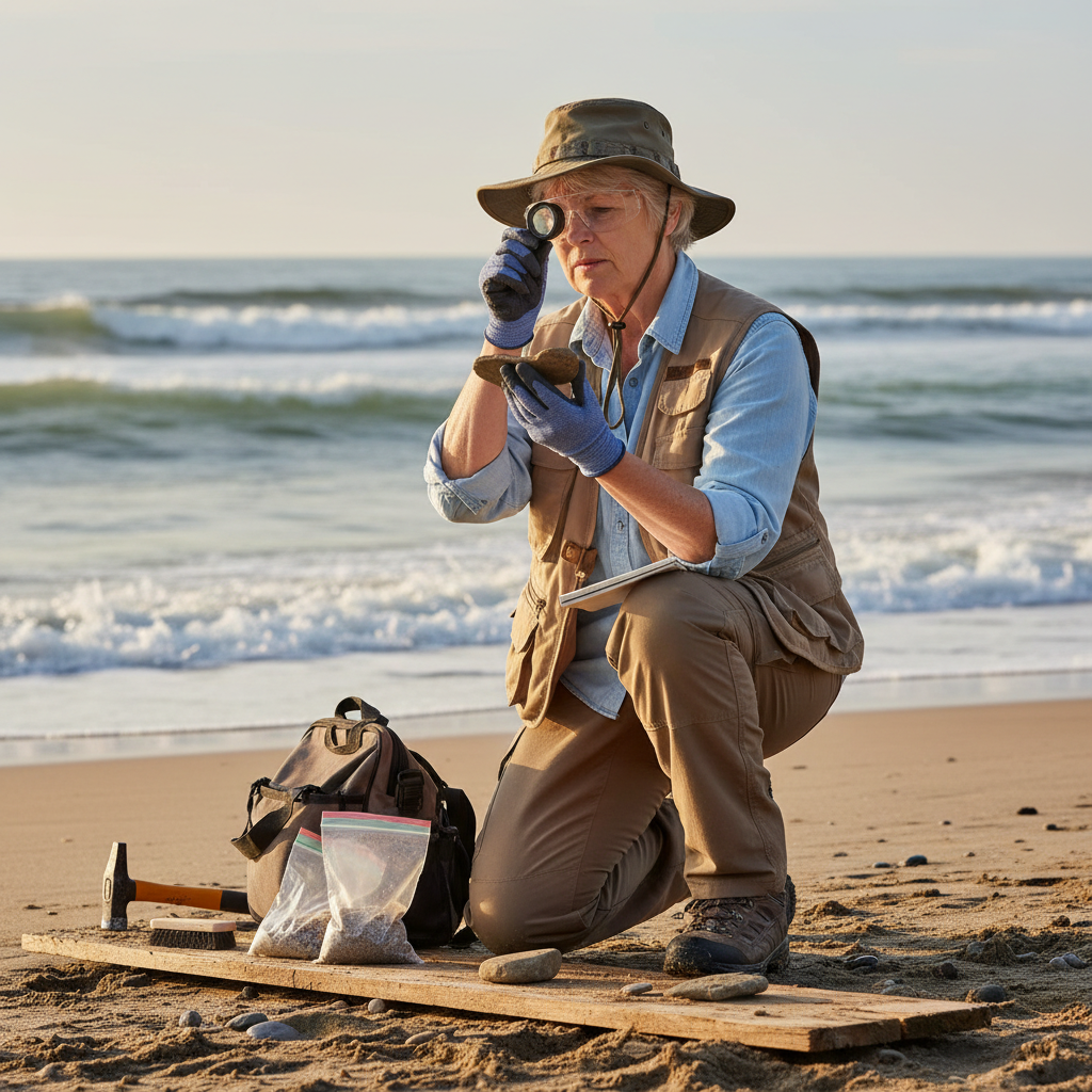
“When the renourishment budget gets deferred for the third year running, I'm not looking at a spreadsheet anymore — I'm looking at the road that will be gone by spring. Someone has to be in that room saying what the data actually means.”
Dr. Patricia Oluwaseun
Senior Coastal Geomorphologist · Shoreline Field Division

“I've testified before three county commissions in the last 18 months. Every one of them had the same question: can we wait another cycle? I show them the satellite imagery. I show them the FEMA redraws. Then I tell them what waiting costs per linear foot. After that, the question changes.”
Marcus Johanssen
Coastal Infrastructure Director · Shoreline Engineering Division

“The emergency management director in Carteret County called me at 11 PM the night before Ophelia made landfall. Not because he didn't have a plan — because he needed to know if the plan we wrote together was still right given the updated surge projections. That's the relationship this work demands.”
Keisha Ramirez-Vance
Emergency Preparedness Lead · Shoreline Policy & Planning
The Cost of Waiting
Average cost of deferred maintenance vs. emergency repair
Per linear foot of shoreline
Properties reclassified to higher flood risk when dune systems fail
Typical FIRM revision impact
Increase in storm damage costs per decade of inaction
NOAA coastal economic data
The Coastal Resilience Summit is where the engineers, planners, and officials who hold this line come together to decide what happens next.
Reserve Your Seat at the SummitTHE ROOM WHERE
THE NEXT DECISIONS
GET MADE.
The 2026 Coastal Resilience Summit brings together the public works directors, county commissioners, harbor masters, and environmental officers responsible for the decisions that determine what our coastlines look like in 2050.
October 14–15, 2026
Wilmington Convention Center, NC
400+ Municipal & State Officials
22 Technical Sessions · 3 Tracks
Engineering Track
Coastal structures, renourishment design, geotechnical standards, and post-storm assessment protocols.
Policy Track
Coastal Zone Management Act compliance, FEMA BRIC funding, municipal bonding strategies, and legislative advocacy.
Emergency Preparedness Track
Storm surge modeling, evacuation protocol development, inter-agency coordination, and after-action frameworks.
Not ready to register?
Download the 2024 Shoreline Report — 68 pages of erosion data, intervention outcomes, and funding analysis across the Mid-Atlantic region.
RESERVE YOUR SEAT